Katja Walter · 12 October 2026
Land Dynamics in Goldenfeld: Insights from Oral Traditions and Historical Documents Across Multiple Generations
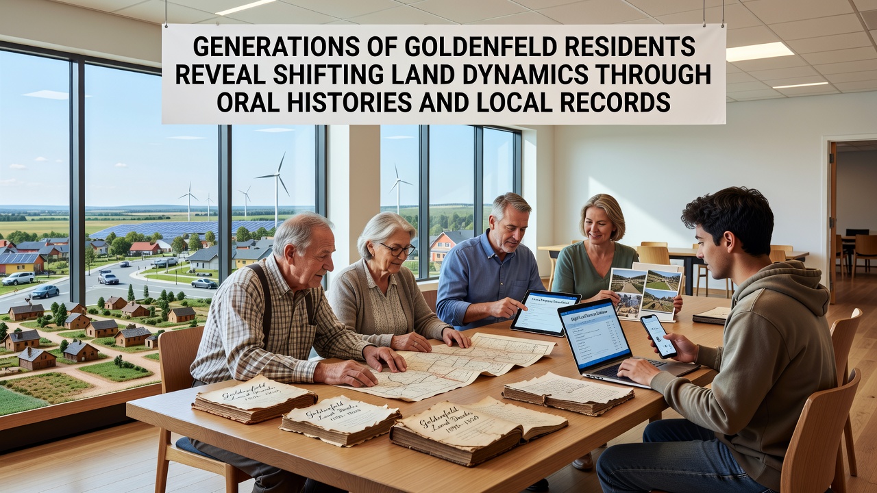
Generations of Goldenfeld residents have preserved accounts of how fields, waterways, and settlement edges have evolved over decades, and these narratives align with entries in municipal ledgers, survey maps, and tax registers that stretch back to the early nineteenth century. Local historians note that families recount stories of once-broad meadows now subdivided into smaller plots while parish records confirm repeated boundary adjustments driven by inheritance divisions and infrastructure expansions.
Oral Accounts Preserve Details Absent from Written Sources
Elders describe seasonal flooding patterns along the central valley that predate modern drainage systems, yet the same individuals point to specific farmsteads that relocated upslope after repeated inundations in the 1920s. Archival maps from 1912 corroborate these relocations by marking former homestead sites now submerged or converted to pasture, and cross-referencing continues as new recordings are collected each year.
Stories also detail the gradual replacement of mixed orchards with monoculture grain fields after the 1950s, while cooperative ledgers list corresponding shifts in crop declarations and equipment purchases. Researchers who have catalogued both interview transcripts and these ledgers observe that oral detail often supplies the timing of individual decisions that aggregate records only summarize by decade.
Archival Records Provide Quantitative Anchors for Narrative Memory
Property registers maintained by the regional land office track parcel fragmentation from 1875 onward, and these numbers match the generational divisions described in family histories. Soil classification tables compiled in the 1930s indicate declining organic content in areas now under intensive tillage, while residents recall the introduction of chemical fertilizers precisely during that period.
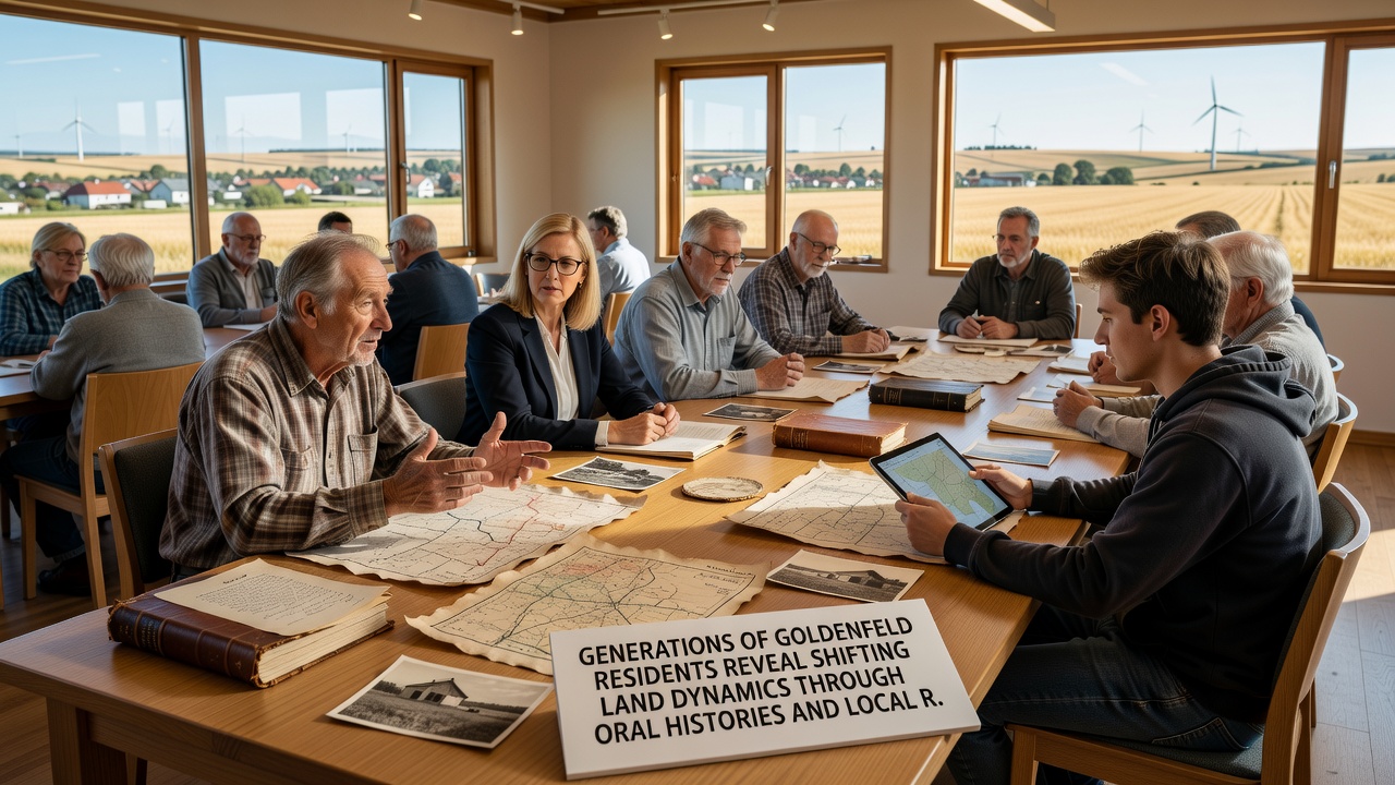
Boundary stones noted in oral testimony still stand at locations recorded in 1898 cadastral surveys, although some have been moved a few meters to accommodate new access roads. Such physical markers serve as fixed reference points that allow direct comparison between remembered landscapes and documented measurements.
Patterns Emerge When Both Sources Are Combined
Combined analysis reveals that wetland areas described as extensive hunting grounds in the early twentieth century were systematically drained between 1948 and 1963, a timeline supported by both drainage permits and resident recollections of lost fishing spots. Forest cover percentages derived from aerial photographs taken in 1953 and 2021 show a net loss of 18 percent, matching accounts of timber harvests followed by pasture conversion.
Population registers indicate steady out-migration after 1970, and oral histories link this movement to reduced farm viability once larger machinery required consolidated holdings. Those who remained describe increased reliance on off-farm income, a trend reflected in updated zoning classifications that reclassified marginal plots for residential use.
Developments Recorded in October 2026
In October 2026 the municipal archive completed digitization of pre-1945 field books, enabling direct overlay with georeferenced oral-history waypoints collected since 2018. Preliminary comparisons already flag three previously undocumented stream diversions that occurred between 1935 and 1942, locations that elders had identified but that lacked precise coordinates until the new digital layers became available.
Community workshops held that same month allowed residents to annotate printed excerpts from the newly released records, producing additional corrections to place names and former land-use categories. These annotations are now being integrated into an open geographic database maintained by the local historical society.
Conclusion
Cross-verification between spoken memory and written documentation continues to refine understanding of how Goldenfeld’s land surface has been reshaped by successive generations. Ongoing collection of both source types ensures that future researchers will possess an increasingly detailed record of incremental changes rather than relying on either medium alone.